Water quality
Sustainable water management starts with the collection of the right information. Water managers are currently dependent on labour-intensive and expensive ground measurements that only provide limited insight into the spatial distribution of water. Satellites are able to efficiently map large areas to clearly reveal the spatial variation so that a better understanding of the system can be acquired. The use of satellite data for water management has therefore received a lot of attention in recent years.
Various applications are currently available for monitoring water quality. These have mainly been developed and used for large bodies of water and oceans. New satellites and recent developments offer a growing number of opportunities to determine the local water quality of both coastal and inland waters. As only a limited number of satellites and models are suitable for this at present, various data sources must be combined in a smart and efficient manner (from satellite images to local measurements and reliable physical models).
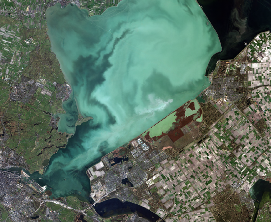
Nationaal Satellietdataportaal SPOT6 12-03-2015, © Airbus DS 2015, © NEO bv
At present, Dutch water managers are only making limited use of Earth-observation applications for water quality, but with the new developments and possibilities, their interest is also growing. Through courses, webinars and workshops, the government can further contribute to an improved awareness of satellite applications and stimulate demand-driven innovation. It can also initiate projects that contribute to the development of applications. There are major opportunities for the public-private sector, because improved sustainability and water management are global challenges.
If you are curious to know whether satellite applications could have added value in your work environment, please contact:
Mark Loos
E m.loos@spaceoffice.nl
T +316 158 862 97