Satellite Data Portal
The use of satellite information by various levels of government as well as knowledge institutions and the private sector is increasing. Examples are audits of agricultural subsidies, monitoring deformations, and risk analyses of forest fires. Farmers use satellite information for more efficient irrigation schemes, to minimize the use of pesticides and to optimize the use of fertilizers. In agriculture the data is also used to predict produce and to manage logistics.
Since 2015, some satellite data has been made available free of charge via the European Copernicus programme. In anticipation of this NSO purchased similar data, financed by the government (a.o. the Ministry of Agriculture, Nature and Food Quality, the Ministry of Economic Affairs and Climate Policy, and Rijkswaterstaat) and made it available as open data via the Satellite Data Portal. This enabled Dutch industry and knowledge institutions to prepare for Copernicus data and to develop innovative applications with both optical data and radar data.
The data from the Copernicus program is now available and the Satellite Data Portal has been further developed, with very high resolution satellite images. Various applications in the Netherlands required higher resolution data than offered by the Copernicus programme. Together with government bodies, NSO investigates the possibility to improve operational processes using these data. This is done through the Innovation Impact Challenge.
More information can be found at https://www.spaceoffice.nl/nl/satellietdataportaal/
The portal itself can be accessed via www.satellietdataportaal.nl
For any questions you may contact the helpdesk of the Satellite Data Portal: portaal@spaceoffice.nl
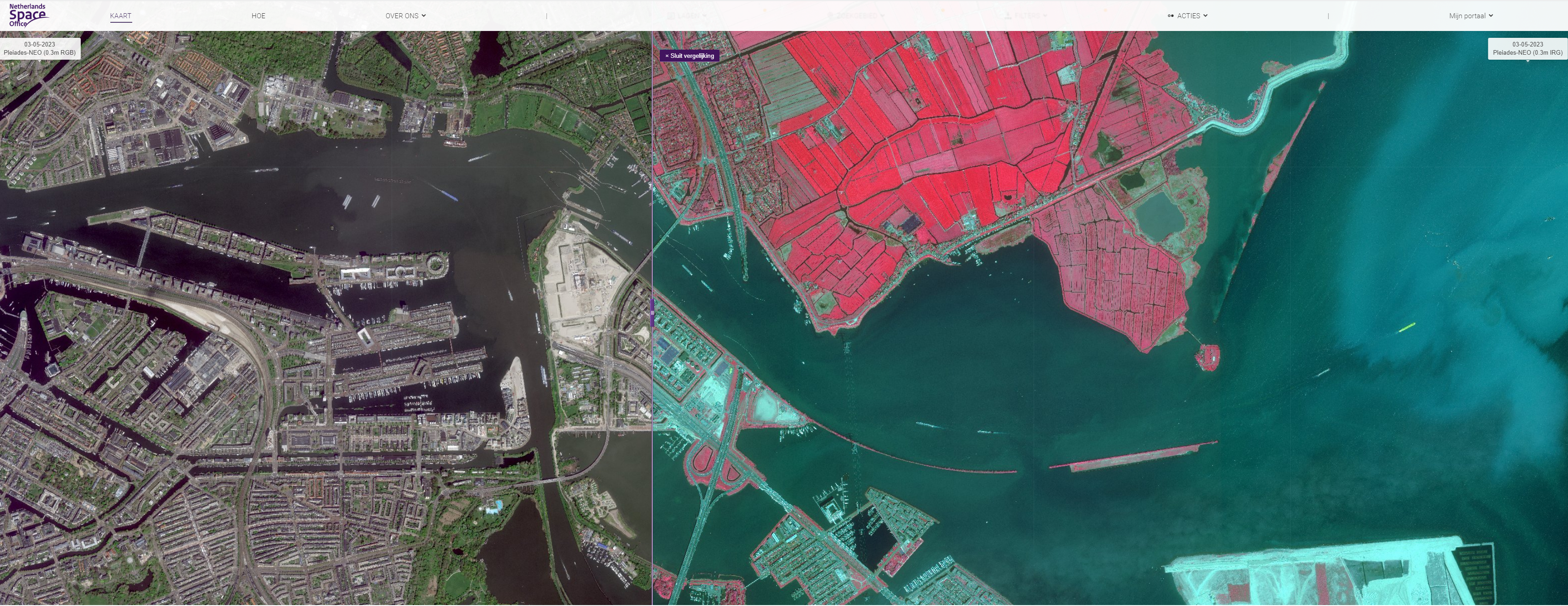
Comparison of a false colour image and a RGB image at www.satellietdataportaal.nl