Spatial planning
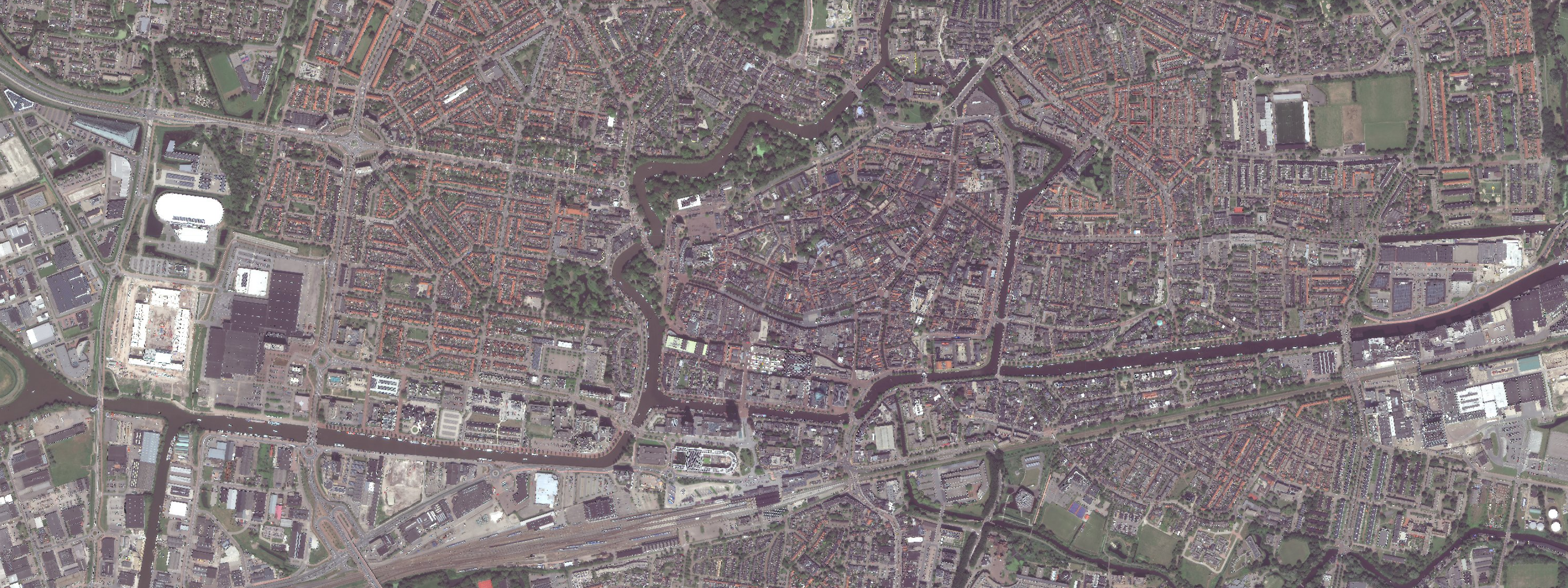
Satellite imagery (Superview-NEO) of Leeuwarden, July 7, 2023
Spatial planning is all around us. The management and development of our physical living environment are described in the Environmental Act. It focuses on all sectors, such as agriculture, industry, transport, recreation, nature and housing.
Satellite data can contribute to spatial planning at municipal, provincial and national level. Think of increasing data quality and reducing costs. Governments are positive about data that is easily accessible and immediately usable. Especially a high frequency and therefore more up-to-date data make a meaningful contribution to work processes in spatial planning.
Spatial planning knowledge is an important Dutch export product. Urban planning models, land reclamation advice, reparcelling plans and much other knowledge finds its way abroad. Here too there are opportunities for satellite information.
If you are curious to know whether satellite applications could have added value in your work environment, please contact:
Coco Antonissen
E c.antonissen@spaceoffice.nl
T +31 6 21 33 99 74