Land monitoring
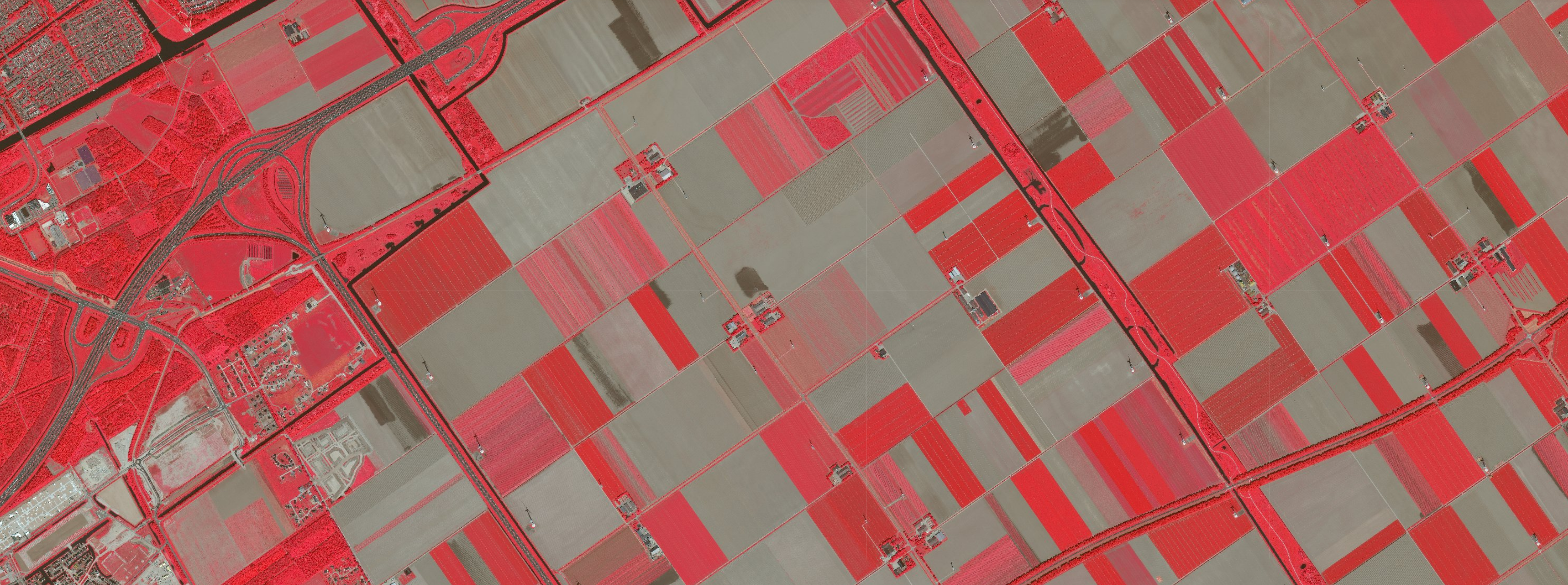
False colour image (Pleiades-NEO) around Almere, June 3, 2023
Satellite applications can play a big role in land monitoring, such as in the conservation and use of ecosystems. Satellite data reveal deforestation due to potentially illegal mining or agricultural activities. They thus contribute to the certification of sustainable timber production. They also help predict, detect and monitor natural disasters such as forest fires and the consequences of an insect infestation.
Land monitoring touches upon many other subjects within NSO's policy, such as food security, precision agriculture, spatial planning, air quality, atmosphere and energy. It is a vital theme for a better management of the living environment and natural resources. Furthermore, land monitoring is important for climate research.
If you are curious to know whether satellite applications could have added value in your work environment, please contact:
Coco Antonissen
E c.antonissen@spaceoffice.nl
T +31 6 21 33 99 74