Three smart satellite applications selected that promote biodiversity in agriculture
NSO is funding three feasibility studies of consortia developing satellite applications to promote biodiversity in agriculture. The consortia participated in the SBIR innovation competition SBIR Satellite Data for the benefit of Biodiversity in the Netherlands, theme: agriculture.
Biodiversity is a hot topic, including in agriculture. Therefore, agriculture was the second sub-theme in a series of NSO SBIR competitions. The Small Business Innovation Research (SBIR) scheme is an innovation competition that challenges entrepreneurs to develop new products or services based on satellite data.
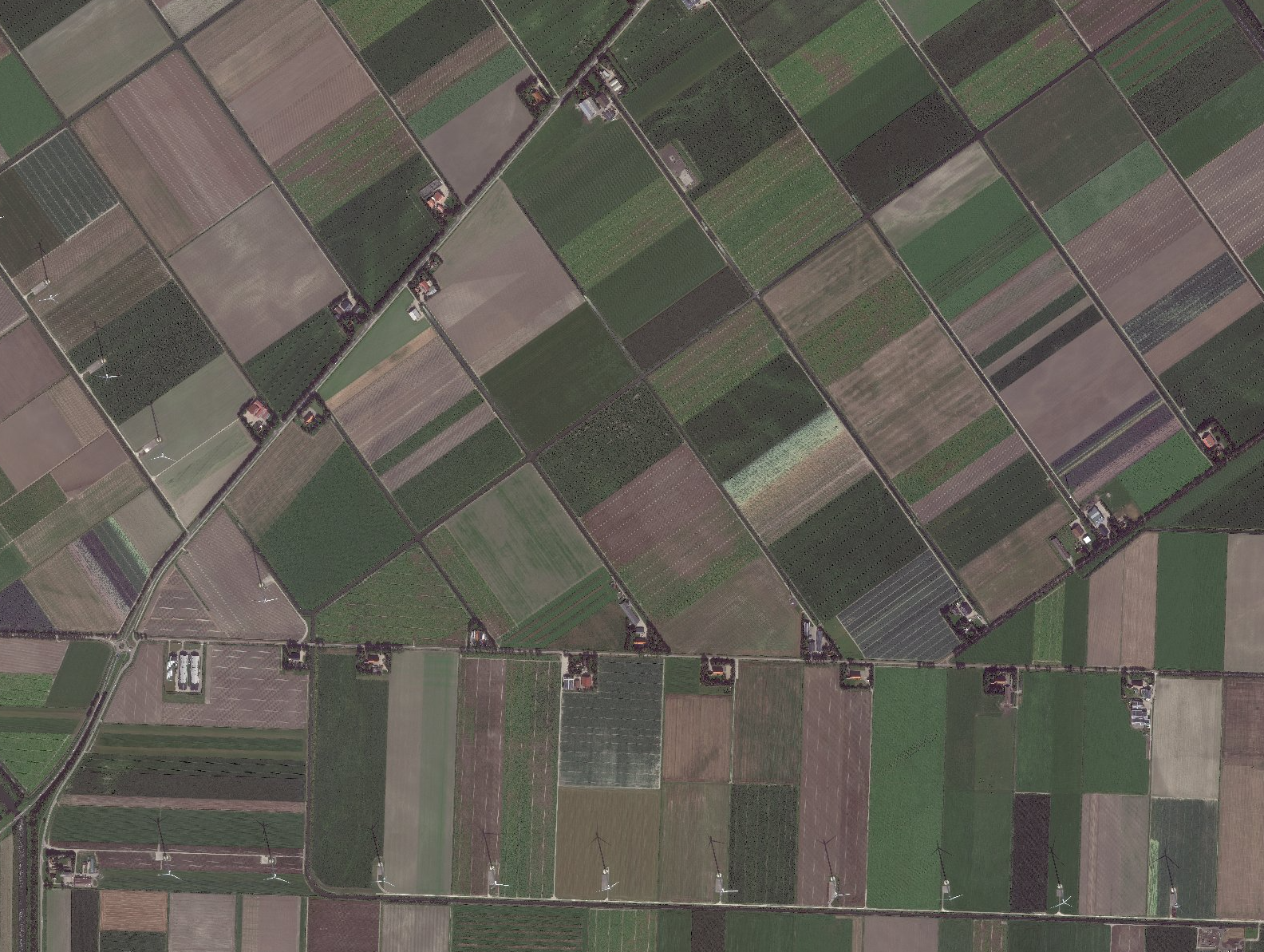
Agricultural land in North-Holland. Image: Satellietdataportaal, Pléiades Neo @ Airbus DS (2023), 8 september 2023
Twelve consortia participated in the SBIR Satellite data for the benefit of Biodiversity in the Netherlands, theme: agriculture. The jury looked at the intended impact, technical feasibility and economic perspective of the various entries. It chose three consortia that can further develop their idea in the coming months, commissioned by the NSO:
Management of buffer strips
Buffer strips are strips of land on agricultural plots to protect water quality and biodiversity in agricultural areas. These landscape elements are located along watercourses surrounding a plot. Spectro-AI and Wageningen University & Research want to use BUFFERSAT to monitor the vitality change of such buffer strips due to activities such as fertilising, grazing and spraying. Can this be done with satellite data? And can the data it generates help the NVWA with inspections? These questions, among others, will be answered in the feasibility study.
Biodiversity in buffer strips
NEO, together with the Dutch Food and Consumer Product Safety Authority (NVWA), Hoogheemraadschap De Stichtse Rijnlanden (HDSR) and BoerenNatuur, is developing an advanced satellite application BUFRBIOD that uses both drone and satellite imagery. A smart algorithm examines in the images which different plant species can be found in buffer zones. The higher the species richness, the greater the biodiversity. The application supports inspections by the NVWA and at the same time helps Hoogheemraadschap De Stichtse Rijnlanden and umbrella organisation BoerenNatuur monitor biodiversity development.
Measuring soil density
Can you measure soil density in mineral soils using satellite data? That question is the focus of the feasibility study by Agrimaco B.V. together with MACH Technology, Spatialise and NMI. Satellite data has already been used to measure soil organic matter. Soil organic matter says something about biodiversity, but not everything. With the additional variable soil density - a key requirement for higher (soil) biodiversity - it will be possible to track soil health even more accurately.
The three consortia are investigating the feasibility of their application until the end of August. After that, the jury will reconvene again. It may reward two of the three proposals with a commission for the next phase of the SBIR competition: develop and demonstrate a prototype.
Diverse SBIRs for biodiversity
Biodiversity is a broad topic, which several governments are working on. That is why there are SBIRs with different sub-themes. The sub-themes nature and agriculture were issued in 2023. Later this year, another SBIR biodiversity with water as a sub-theme will follow.